
Land Surveyor in Rifle, CO
Serving Rifle, CO, and surrounding Garfield County communities, we offer professional land surveying to property owners, developers, contractors, and municipalities who need accurate, reliable data before any project moves forward. If you need a land surveyor in Rifle CO, call (970) 945-8676 to request a quote from our team, a Colorado civil engineering and land surveying firm with a track record in Garfield County dating back to 1985.
What Types of Land Surveys Do We Offer in Rifle?
We provide a full range of survey types to support projects of every size in Rifle, CO, and throughout Garfield County. Each survey type serves a distinct purpose, and choosing the right one from the start can prevent costly delays during permitting or construction. Available services include:
Boundary surveys to legally establish or confirm property lines in accordance with Garfield County and City of Rifle requirements.
Improvement location certificates (ILCs) to support real estate closings, typically required by title companies and lenders when properties change hands in the Rifle area.
ALTA/NSPS land title surveys for commercial transactions requiring the highest standard of title evidence, including easements, encroachments, and access detail.
Topographic surveys to map existing grades, drainage patterns, and natural features across Rifle's Colorado River valley terrain.
Construction staking to lay out roads, utilities, building pads, and grading limits so contractors can build to design tolerances.
We have performed boundary surveys, topographic work, and construction staking on Garfield County projects including ranch land near the Colorado River between Silt and Rifle. That direct local experience matters when navigating terrain, floodplain considerations, and Garfield County land use requirements.
How Does the Survey Process Work in Garfield County?
A land survey with our team follows a clear process from first contact to recorded deliverable.
Initial consultation: Describe your project and property location so we can determine the correct survey type and scope under Garfield County or City of Rifle requirements.
Title research and records review: Existing plats, deeds, and legal descriptions are reviewed to identify prior monuments and potential boundary conflicts before field work begins.
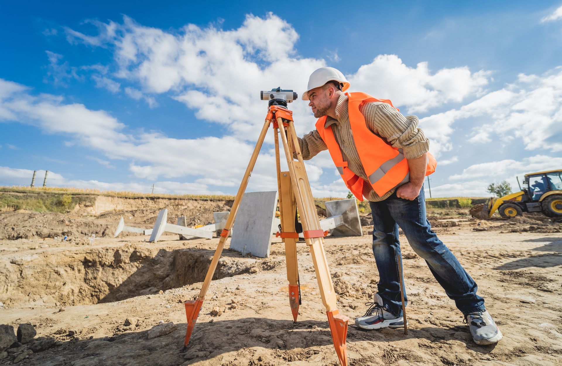
Field data collection: Survey crews use GPS and total station equipment suited to Western Colorado's varied terrain, from river valley parcels to mesa-top properties above Rifle.
Office processing and map preparation: Field data is processed and a plat, certificate, or report is prepared meeting Colorado state standards and Garfield County recording requirements.
Delivery of stamped documents: Final deliverables are stamped by a licensed Professional Land Surveyor (PLS) and prepared for recording with the Garfield County Clerk and Recorder.
Why Professional Licensure and Local Experience Matter
Every survey product we deliver is stamped by a Colorado-licensed Professional Land Surveyor. Colorado law requires PLS licensure for any survey that legally defines property boundaries or is recorded with a county. Our survey team also includes staff with Certified Federal Surveyor credentials, relevant for projects bordering Bureau of Land Management or U.S. Forest Service land common throughout the Rifle and Piceance Basin area.
We completed a HARN GPS control point survey for the City of Rifle in coordination with the National Geodetic Survey and CDOT, making us one of only two Colorado firms to complete this type of high-accuracy control work with those agencies. Our additional local experience includes the Eastridge Subdivision in Rifle (all engineering and surveying for a 26-lot residential subdivision), ranch boundary surveys in Garfield County, and hydraulic study cross-sections along the Colorado River between Silt and Rifle. Our familiarity with these agencies reduces the risk of surprises during Garfield County Community Development or City of Rifle Public Works review.
Explore our
Google Business Profile,
to read our clients' reviews and learn more about us.
Frequently Asked Questions
Contact a Land Surveyor Serving Rifle, CO
High Country Engineering, Inc. has provided civil engineering and land surveying across Garfield County and Western Colorado since 1985. Whether you need a boundary survey, an ILC, an ALTA survey, or construction staking, we can help. Call (970) 945-8676 or contact us online to request a quote.