
Expert Land Surveying for Eagle, CO
High Country Engineering, Inc. offers a professional land surveyor to property owners, developers, and municipalities. Whether you are buying property near Eagle Ranch, planning a subdivision in Gypsum, or developing a commercial site along the I-70 corridor, accurate surveying is the foundation of every successful project. Call (970) 945-8676 to request a quote for land surveying in Eagle, CO.
Survey Types Serving Eagle, CO
High Country Engineering, Inc. provides a full range of land surveying services for residential, commercial, and municipal clients across the Vail Valley and communities to the west such as Gypsum and Edwards. Survey capabilities include:
▸ Boundary surveys to establish fixed property lines throughout Eagle County.
▸ Topographic surveys to map the region's complex mountain and river valley terrain.
▸ GPS HARN control surveys for high-order horizontal and vertical positioning.
▸ Improvement Survey Plats (ISPs) and Improvement Location Certificates (ILCs) required by Eagle County lenders and title companies.
▸ Condominium plats and subdivision platting near Avon, Edwards, and Eagle, CO's growing residential areas.
▸ Construction staking for commercial and infrastructure projects along State Highway 6 and the I-70 corridor.
Review the firm's broader
qualifications and surveying capabilities on the High Country Engineering, Inc. land surveying company website.
Why Eagle, CO, Terrain Makes Accurate Surveying Critical
Eagle County's 1,692 square miles of mountainous terrain complicate property measurement and development planning. The Eagle River runs alongside I-70 and joins the Colorado River near Dotsero, making floodplain awareness and accurate topographic data essential. Sloped sites in Eagle, CO, Gypsum, and Eagle-Vail often create costly boundary disputes.
Eagle County Filing and Recording Land Surveying Requirements
Eagle County requires land survey plats to be deposited with the Eagle County Engineering Department and final plats to be recorded with the Clerk and Recorder's Office. High Country Engineering, Inc. has surveyed the Airport Gateway Center and Eagle Interchange subdivisions near Eagle County Airport, giving it direct familiarity with local agency processes.
View past project experiences to learn more.
How the Survey Process Typically Works
- Contact High Country Engineering, Inc. by phone or form to discuss your project and property location.
- Provide documents such as deed descriptions, prior plats, or title reports.
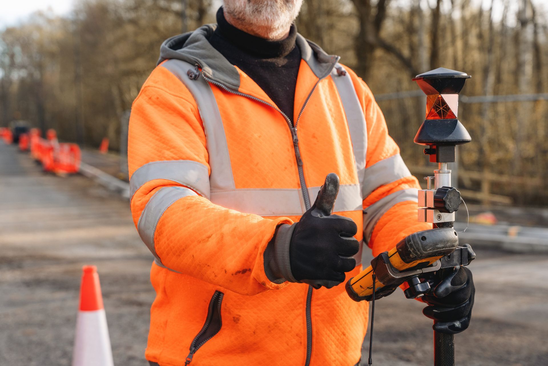
- Field crews use GPS equipment and total stations to collect site data.
- Results become a plat, certificate, or report meeting Colorado and Eagle County requirements.
- Completed documents are submitted to the Eagle County Engineering Department or Clerk and Recorder.
Frequently Asked Questions About Land Surveying in Eagle, CO
Contact Us for Land Surveying Services Today
High Country Engineering, Inc. has served Colorado's mountain communities since 1985. The local land surveying firm offers top land surveying to Eagle, CO. Call (970) 945-8676 or visit the contact page to request a quote.