ILC vs. Boundary Survey in Colorado: Which One Does Your Land Surveying Project Need?
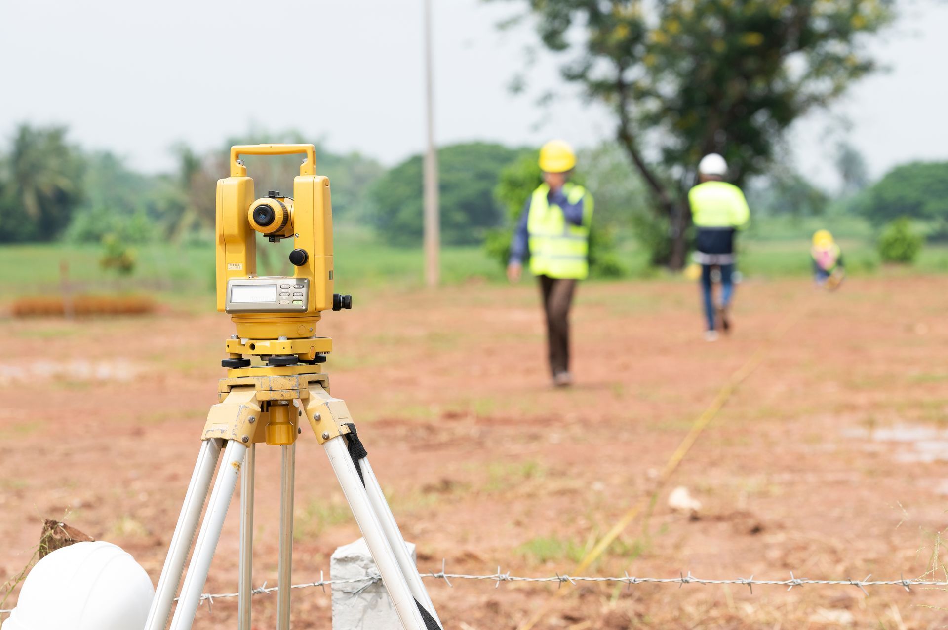
Choosing the right survey type is one of the most common questions property owners face in Colorado, whether you are closing on a home in Rifle, CO, or breaking ground on a mountain parcel in Eagle County. Land surveying in the Rifle area involves two very different documents: an Improvement Location Certificate (ILC) and a boundary survey. Knowing which one applies to your project can save you time, money, and headaches.
What Is an ILC in Colorado?
An ILC is a Colorado-specific document prepared by a licensed surveyor that shows where visible improvements sit in relation to recorded property lines. It is primarily designed to support real estate closings rather than construction or dispute resolution.
An ILC shows the approximate location of structures, fences, driveways, and easements based on existing records. It does not establish exact legal boundaries, does not set or verify property corners, and by state law cannot be relied upon for placing fences, buildings, or other future improvements. Every ILC in Colorado must include a certified statement to that effect under C.R.S. 38-51-108.
Because an ILC requires less fieldwork than a full boundary survey, it is faster and lower in cost. That makes it well-suited for standard residential closings in Rifle and across Garfield County, where lenders and title companies order one to confirm that visible improvements sit on the correct lot and to note obvious encroachments.
When Do You Need a Boundary Survey?
A boundary survey is the right tool when exact property lines must be legally established. It is typically needed for construction projects, subdivision platting, resolving encroachments, and land transfers involving rural or large-lot properties.
A full boundary survey determines legal property boundaries, identifies and monuments property corners, reviews title documents and easements, and produces a certified map. In Garfield County, projects near the Colorado River often involve FEMA floodplain overlays and land-use change permits that depend on precise boundary documentation. In Eagle County, mountainous terrain, large rural ranches, and properties adjacent to U.S. Forest Service land may require a boundary survey before the Eagle County Community Development office will issue permits.
ILCs are not always accepted by county planning departments for permit approval, so confirm requirements with the relevant agency before ordering either document.
Which Survey Do Lenders and Title Companies Require?
Lenders and title companies most often require an ILC for a standard Colorado residential closing. When a buyer obtains a loan or requests owner's extended coverage title insurance, the title company typically orders an ILC to confirm that improvements sit on the lot and to note any encroachments. An ILC is generally sufficient for a typical platted residential lot in Rifle or Eagle County.
However, if the ILC reveals a possible encroachment or a boundary discrepancy, a true boundary survey may then be required to resolve it. Rural properties, large acreage parcels, and unplatted land also tend to require a full boundary survey from the outset, since approximate boundary locations are not adequate for title protection on complex properties.
ILC vs. Boundary Survey: Side-by-Side Comparison
An ILC is designed for real estate closings on platted residential lots. It shows approximate improvement locations relative to recorded lines, does not set property corners, and carries a mandatory disclaimer limiting its legal use. It is the faster, lower-cost option for this narrow purpose.
A boundary survey is designed for construction, subdivision, dispute resolution, and complex transactions. It establishes fixed property lines, sets or recovers corner monuments, and produces a document accepted by courts, county planning departments, and title insurers. In Eagle County and Garfield County, improvement survey plats and land survey plats are both recognized boundary surveys. An ILC is expressly not recognized as one.
For projects in the Piceance Basin near Rifle, where natural-gas industry growth has driven commercial and industrial development, boundary surveys and improvement survey plats are often necessary to satisfy Garfield County permit requirements and CDOT access applications.
Frequently Asked Questions
Can an ILC Be Used to Pull a Building Permit in Garfield or Eagle County?
It depends on the project. Some agencies may accept an ILC for basic permits, but an ILC should not be relied upon for placing permanent structures. Eagle County's surveyor office notes that an ILC does not provide a fixed position of property lines. For setback verification, subdivision, or permanent improvements, a boundary survey or improvement survey plat is typically required. Always confirm with the Garfield County Building Department or Eagle County Community Development before proceeding.
What Is the Difference Between an Improvement Survey Plat and a Land Survey Plat?
Both are boundary surveys recognized by Colorado and the Board of Registration for Professional Land Surveyors. An improvement survey plat shows existing structures in relation to legally established boundaries and is commonly used for complex or rural property sales. A land survey plat shows information from a monumented survey and is used when creating or redefining legal parcels. Both provide the fixed legal boundary position that an ILC cannot.
Do I Need a Survey for Land Near Rifle, CO, Along the Colorado River?
Probably yes. Projects near Rifle, CO, may involve Garfield County land-use change permits, CDOT access permits, and floodplain considerations tied to the Colorado River. A boundary survey is typically required to document exact property lines for floodplain studies and permit applications. An ILC is unlikely to satisfy these requirements.
Get the Right Survey for Your Rifle or Eagle County Project
Choosing the wrong document can delay a closing, stall a permit, or leave a property-line dispute unresolved. For straightforward residential closings on platted lots, an ILC may be all your lender or title company needs. For construction, subdivision, dispute resolution, or complex rural parcels, a boundary survey is the appropriate tool.
High Country Engineering, Inc. has been providing land surveying and civil engineering services across Garfield and Eagle counties since 1985, with direct project experience including HARN GPS control work for the City of Rifle and boundary surveys on Garfield County ranch land. To discuss which survey type your project requires, contact the team or call (970) 945-8676. You can also review the full range of surveying qualifications and capabilities to learn more.